


TEDA's Smart Governance Reaches New Heights
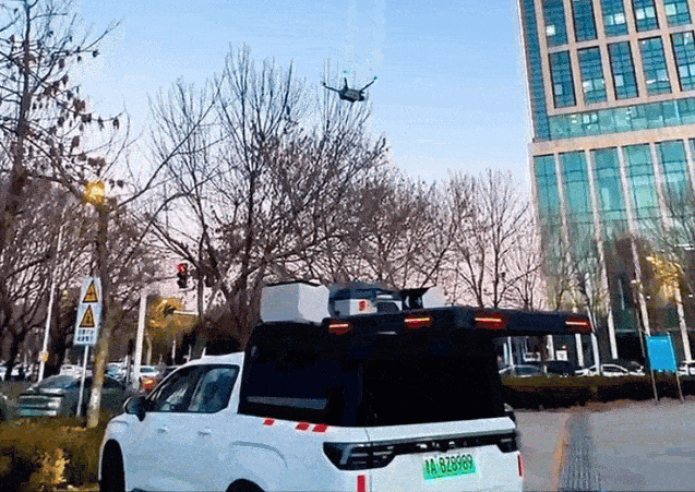
Recently, TEDA launched an intelligent airborne drone system and a low-altitude cloud platform, providing precise and efficient technical support for regional natural resource surveys, urban mapping, planning, and land management, thereby solidifying the data foundation for regional development.
The platform achieves full-process automation from intelligent flight and real-time AI recognition to cloud-based automatic modeling and 2D/3D analysis. It features multi-scenario intelligent route planning and centimeter-level data collection capabilities, enabling simultaneous risk identification, high-precision modeling, and analysis report generation during flight, significantly improving operational efficiency. Additionally, through five-direction oblique imaging and real-time terrain-following flight technology, the platform efficiently generates centimeter-level 3D real-scene models to assist in planning scheme simulations, contributing to the region's high-quality development.

 津公网安备 12019002000128号

